


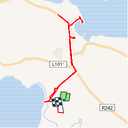

336 km | 382 km-effort

Utilisateur


Application GPS de randonnée GRATUITE
 SityTrail
IGN / Instituts géographiques
SityTrail World
Le monde est à vous
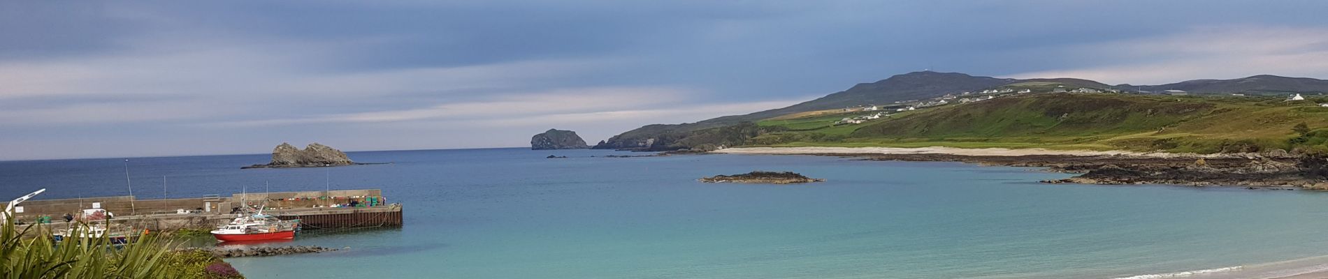
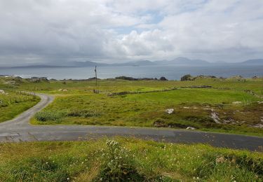
Randonnée Marche de 7,3 km à découvrir à Inconnu, County Donegal, Inishowen Municipal District. Cette randonnée est proposée par pffrench.


Voiture